Sediment Assessment and Delineation – Deer Creek State Park Shooting Range – ODNR – Madison Township, Fayette County, Ohio
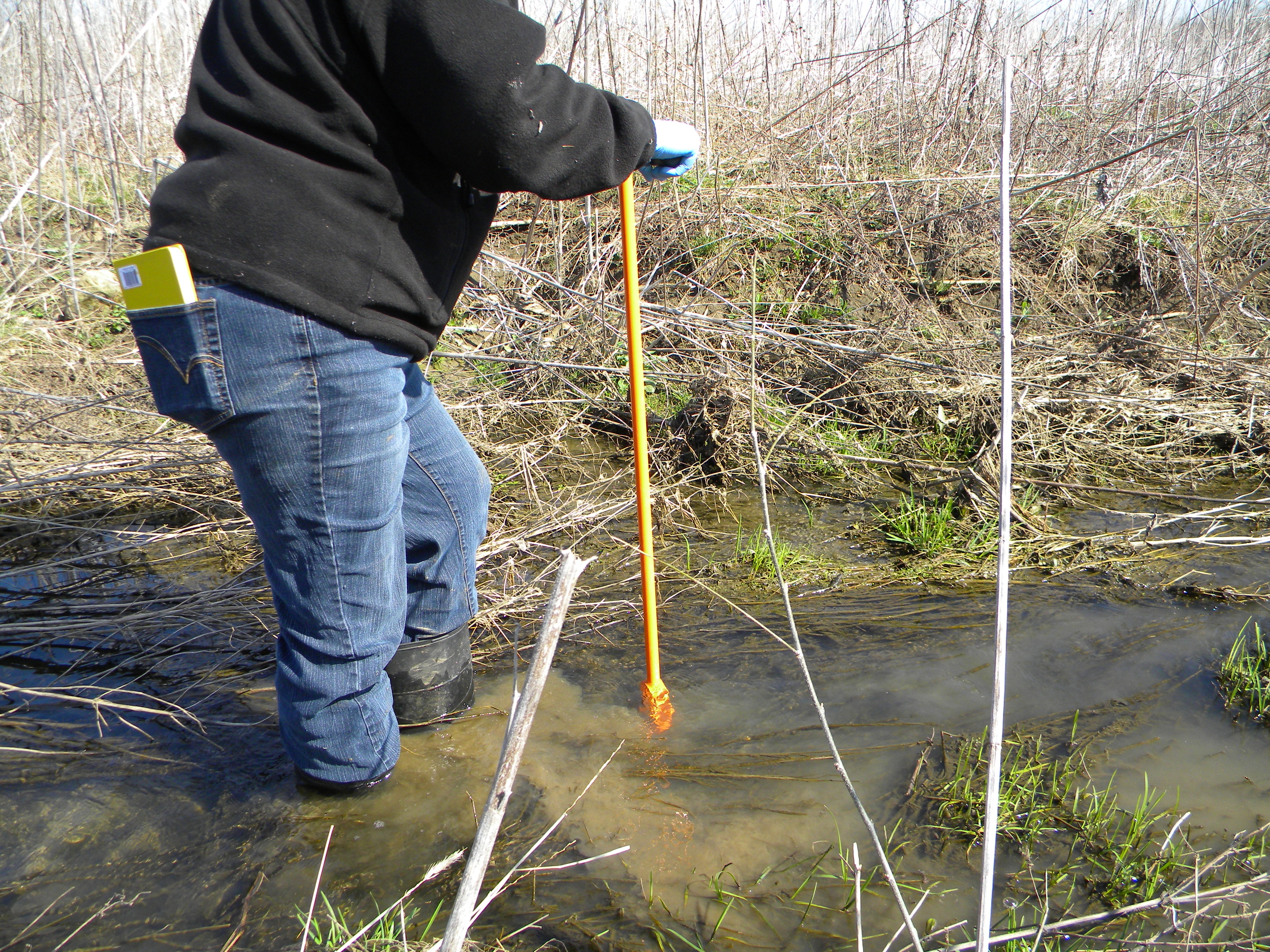
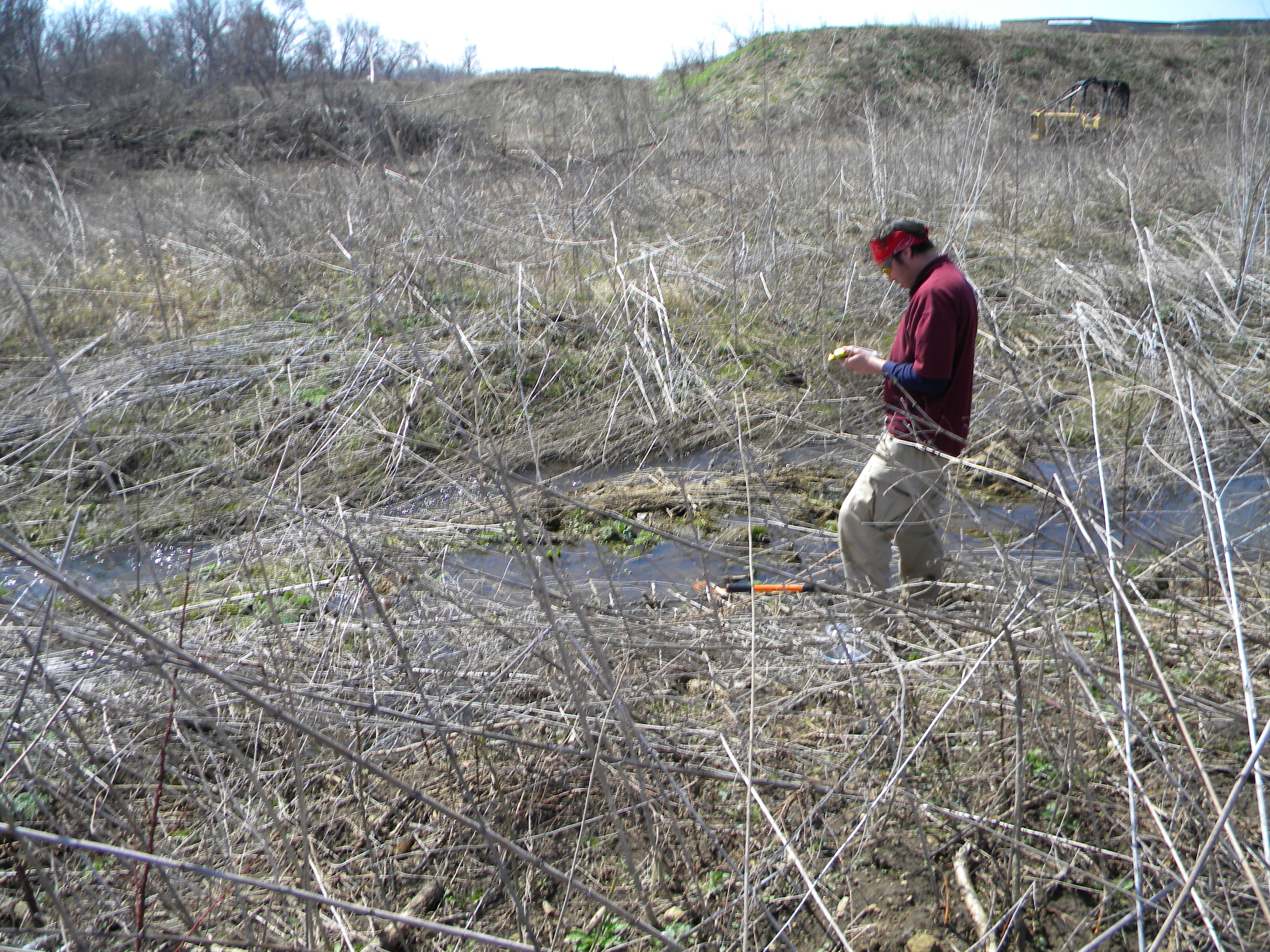
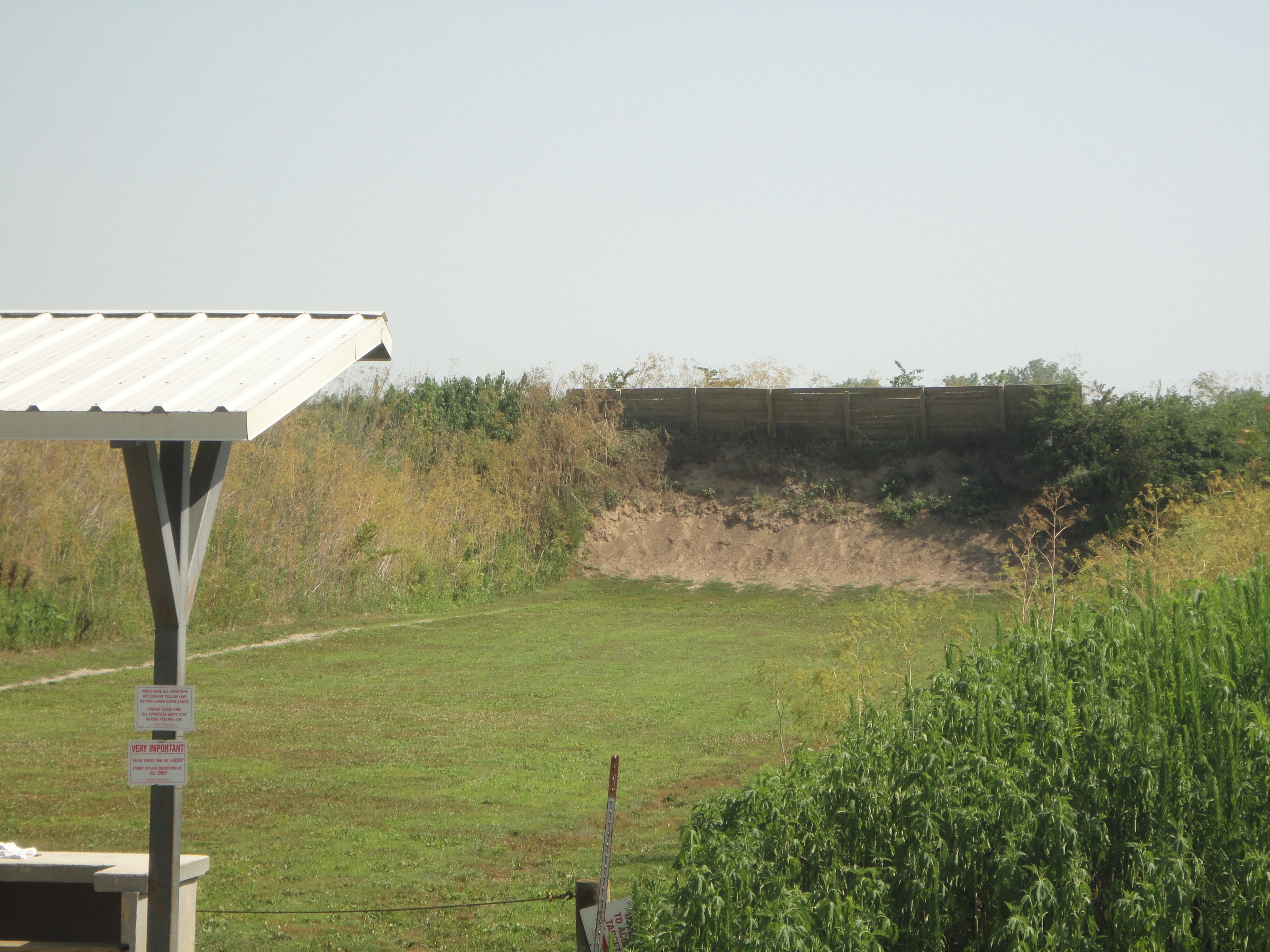
A shooting range for clay pigeons was located at this Ohio Department of Natural Resources (ODNR)-managed wildlife area adjoining Deer Creek Lake State Park. ODNR was issued Findings and Orders to identify and evaluate possible stream contamination from lead shot. Working with the U.S. Army Corps of Engineers (USACE) and ODNR, STONE prepared a comprehensive sampling and analysis plan to characterize the sediments in the stream, the proposed area where the stream was to be located, and the disposal area for dredged soils. Samples were collected and analyzed for a variety of constituents, but predominately focused on lead as the contaminant of concern. The results of the testing identified areas that exceeded hazardous waste threshold limits for lead. These areas were identified on a site plan, which was then used for remediation of the area when the shooting range was permanently closed. The results of the study were also used to delineate soils that required special attention during stream relocation.