ODNR Tycoon Lake Dam Topographic Mapping and Waterway Permitting Services – Rio Grande, Gallia County, Ohio
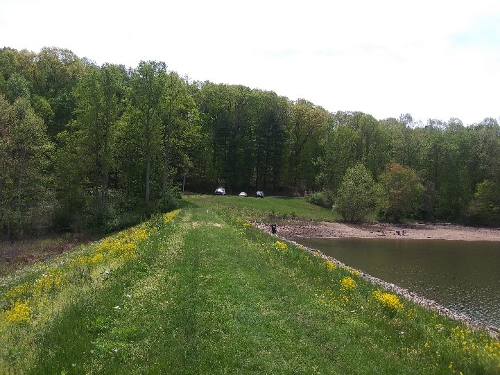
Topographic and bathymetric information was performed at Tycoon Lake dam in order for design to proceed. The southern embankment area is approximately 1,700 feet long and 95 feet wide while the eastern embankment is approximately 1,200 feet long and 70 feet wide. STONE’s deliverable to the design engineer was a base map in AutoCAD format. Three survey control monuments (iron pins) were placed at each of the embankments. Bathymetric survey work was performed within the lake. The survey data was on the Ohio State Plane South Coordinate System and the NAVD 88 as established by GPS.
The base mapping was provided within one week of completion of the field work.
STONE has provided additional review for anticipated waterway permitting scenarios and preparation of Section 401/404 waterway permit applications once the design is finalized. STONE also completed the delineation of wetland and stream areas and prepared the Preliminary Jurisdictional Waters Delineation (PJWD) report following U.S. Army Corps of Engineers (USACE) and Ohio EPA protocols.